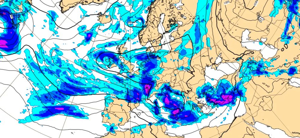
Italy is still in the grip of bad weather: after the damage that the Cyclone Harry caused on Sardinia, Sicily and Calabria, the Peninsula is once again in the center of disturbances of Atlantic originwhile in the next few hours the arrival of what has been journalistically defined as the “St. Valentine’s Day cyclone” is expected vortex cyclonic (which will reach a minimum of 985hPa) result of the clash between the cold Arctic currents and the milder ones, of origin sub tropical. There Civil Protection has issued an orange weather alert for hydrogeological risk in Calabria and Sicily. Yellow alert, however, for Sardinia, Basilicata, Campania, Puglia, Molise and Lazio.
In the meantime, this morning Rome woke up with widespread flooding and serious repercussions on traffic which sent the capital into a tailspin, while in Catanzaro there have already been significant damage, with the wind damaging the roof covering of the D’Errico primary school.
What is causing the bad weather in Italy
As reported by meteorologists, the bad weather that is hitting Italy today, February 12, is due to a disturbance of Atlantic origin, which will mainly affect the Tyrrhenian shore, where the phenomena may be locally intense.
In the next few hours, however, what has been journalistically defined as the “Valentine’s Day Cyclone”: as confirmed by 3B Meteo, this vortex cyclonic will begin to evolve in the Mediterranean area as early as the end of Friday 13 February and will be the result of one clash betweencold arctic air and some current origin myths sub tropical. This will give rise to strong instability, with widespread rain, showers and thunderstorms across much of the Peninsula.
To complicate the picture there will also be the strong cyclonic winds, with gusts which, according to forecasts, could reach up to 100 km/h, affecting above all the Tyrrhenian area and the Adriatic. At the same time, Sardinia could be hit by strong forces storm surgeswith waves expected up to 6-7 meters tall. On the Alps and Apennines, however, the cyclone will also bring heavy snow, starting from 900/1000m in the case of the Alps and above 1000/1300m in the case of the Apennines.
The weather forecast for the next few days
For the next few days, and in particular for the Valentine’s Day weekend, the forecasts confirm a phase of bad weather over much of the Peninsula.
The day of Friday it will be characterized by rain and instability in the North-East and central regions, with snowfall in the Alps (around 700-1000 metres) and in the northern Apennines.
Saturday 14 Februaryhowever, the vortex will mainly affect the Central-Southwith locally intense rain and thunderstorms in Triveneto, Lombardy, Emilia-Romagna and the entire Tyrrhenian side, from Tuscany to Calabria and winds of up to 100 km/h in the southern regions. From Sunday 15 February the vortex will begin to slide towards Greece, with a gradual improvement in the North and the middle Tyrrhenian Sea, while the instability – accompanied by colder air – will still persist in Southern Italy and on the Adriatic side.
According to forecasts, it is possible that the bad weather will not give Italy any respite at least until the last ten days of February when a rise of high pressure could expand towards the central Mediterranean.