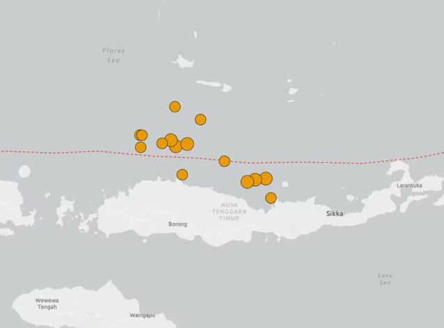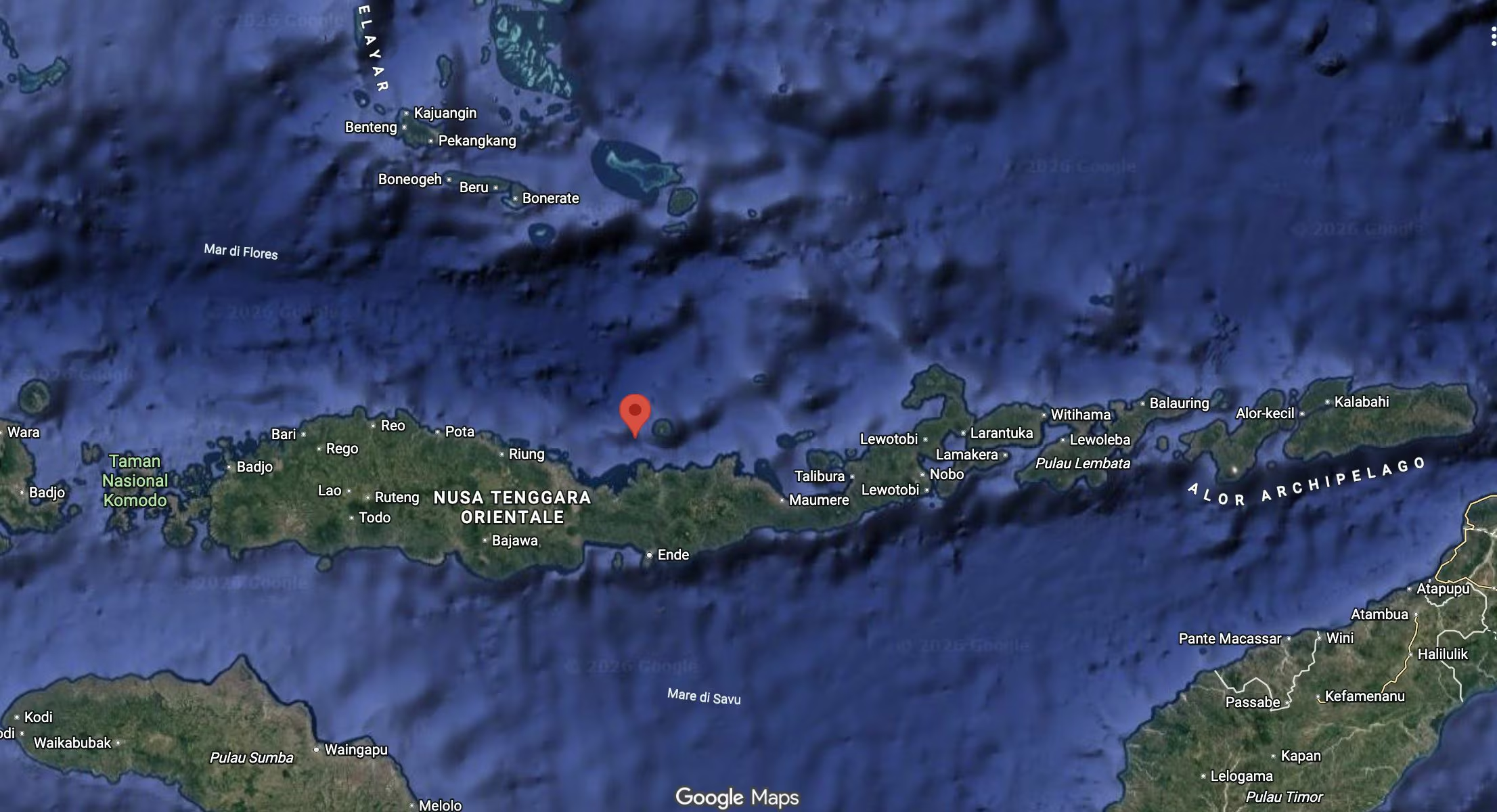
At 02:46 Italian time there was one new earthquake hits the coast of Indonesia, of magnitude 5.6. As reported by the INGV (National Institute of Geophysics and Volcanology), the epicenter was located 175 kilometers east of the city of Labuan Bajo, with the hypocenter at a depth of 18 kilometers. No tsunami warning has been issued and so far there are no reports of damage or consequences for the population.
Last Saturday there was a powerful 7.7 magnitude earthquake on the island of Flores. in the eastern part of the archipelago state, which caused 53 deaths, 137 injuries, with numbers unfortunately destined to rise, and over 5 thousand displaced people. The Indonesian Agency of Meteorology, Climatology and Geophysics, BMKG, initially issued a tsunami warning, which was later lifted. A few hours later another tremor was felt magnitude 6.9, on the island of Sumatrawith the epicenter 126 kilometers southeast of Medan, the island’s capital.
THEemergency management agency declared yesterday that the earthquake destroyed over 900 homes and damaged almost 450 others, forcing around 5 thousand people to take refuge in temporary structures and at least 167 public structures (including schools, health centers and churches) suffered damage.
They were recorded in the hours following Saturday’s quake at least 341 aftershocks. Indonesia is in fact located within an area characterized by high seismic and volcanic activity, the so-called Pacific Ring of Fire, so called due to the presence in the belt of approximately 75% of the planet’s volcanoes. Here, every year, approximately 7 thousand earthquakes occur, generally of moderate intensity.