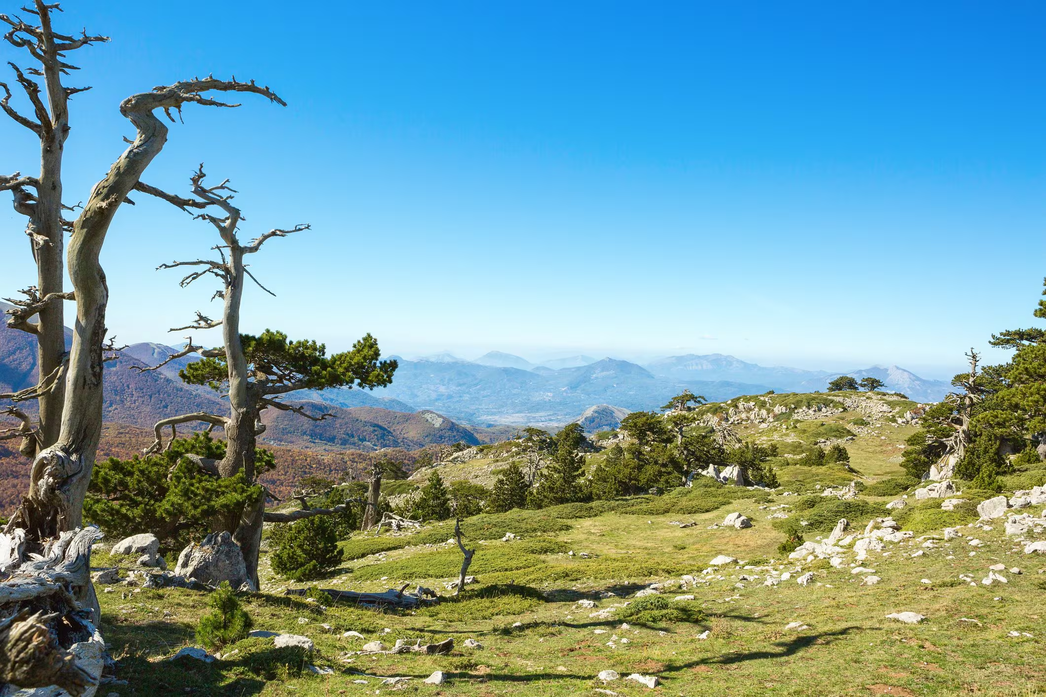
Six Italian national parks they have now an atlas of fire riska project coordinated by the State University of Milan, in collaboration with the University of Turin, the University of Bari Aldo Moro and the Institute for Bioeconomics of the National Research Council, and which concerns Val Grande, Stelvio, Tuscan-Emilian Apennines, Gargano, Pollino and Maddalena.
The Fire-Box project was introduced to offer new tools for the prevention of fires, in this way, as the official press release explains, the competent subjects will have at their disposal a complete package of tools to analyze the behavior of fire and guide prevention, starting from a new national classification of vegetable fuels, the first Italian database of fires from 2007 to 2024, an estimate of fire emissions and a fire spread simulator.
Maps and data: what’s in the atlas
All materials, maps, databases and technical reports can be freely consulted by those involved in prevention. The aim is to understand where a fire runs fastest, which areas are most at risk and where to intervene on the vegetationall this through data, reports, maps that help fill this information gap and support research on fire regimes and their relationship with climate, vegetation and land use.
Giorgio Vacchianoprofessor of Forest Management and Planning at the Department of Agricultural and Environmental Sciences of the University of Milan and coordinator of the project, specified that “To prevent fires it is not enough to know where and how they burned in the past, we need to understand where the fuels are located, how the fire could spread and which people, infrastructures and ecosystems would be exposed”.
Furthermore, “FIRE-BOX finally provides a common basis for reading these elements together. The products are open and can be updated and improvedtheir value will now depend on the ability to transform them into concrete choices, concentrating prevention in the areas where it can reduce the risk the most,” explains Vacchiano.
As we said at the beginning, the starting point is precisely this a new national classification of vegetable fuelswhat fire consumes, grass, shrubs, and woody biomass. Fire-Box has surveyed and ordered them in a classification valid for the whole country, accompanied by descriptive sheets, a common sampling protocol and a national database. From this work the Italian map of fuel types and models was born, which serves to build propagation scenarios and identify the areas where it is appropriate to intervene on vegetation.
Database of fires that occurred between 2007 and 2024: simulation and prevention
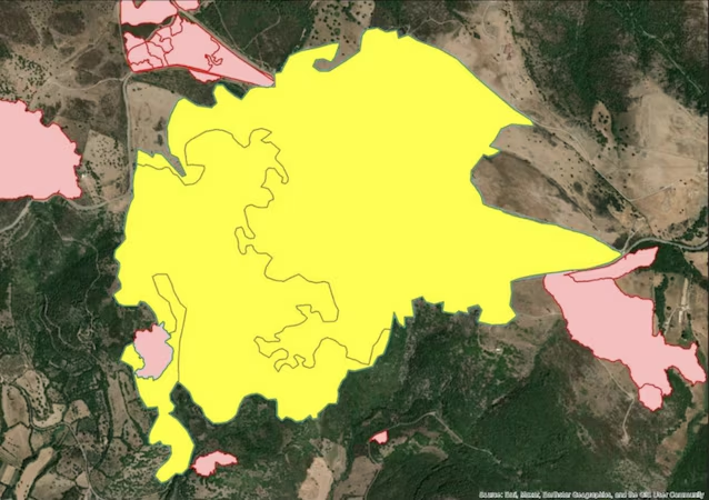
The second step is the database of fires that occurred between 2007 and 2024. For the first time the information scattered between regional and national sources comes together in a single archive, which allows us to understand where, when and under what conditions the fires developed. For administrations and technicians it means being able to recognize the circumstances that have made certain events more severe, update fire prevention plans and estimate the environmental effects of the fire.
The third tool is a online platform that allows you to combine simulations and preventionthrough a webGIS application that makes it possible to use the territorial data and models produced by the project to predict the evolution of the fire front in space and time, distinguishing the danger of the fire, the vulnerability of the elements involved, their exposure and the resulting risk. As stated in the press release, “the analysis of these areas can help establish prevention priorities, plan fuel management around settlements and improve civil protection planning”. This is precisely the terrain on which Fire-Box aims to make a difference, the urban-forest interface areas where flammable vegetation comes close to homes and infrastructure. Knowing in advance where the fire can come from, and how quickly, is the first step to not being caught unprepared.
