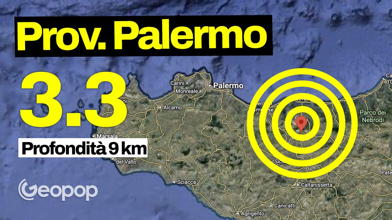
A shock of earthquake Of magnitude 3. hit the province of Palermoin Sicilytoday 31 August, at 2.57pm. According to what was recorded by INGV, the epicenter was located 2 km from Petralia Sottanaabout 71 km from the Sicilian capital. The hypocenter, however, was detected at 9.2 km deep.
The shock would have been warned by the population of the area: at the moment, however, no particular damage was reported. The epicenter of the shock was detected 37 km from Caltanissetta, 58 km from Bagheria and 73 km from Agrigento.
From a geological point of view, Sicily is considered a highly seismic area due to the collision between two tectonic plates, that is African and Eurasian. This generates complexes fault systems which, in some cases, can give rise to very intense earthquakes, such as the one recorded in eastern Sicily in 1693, the strongest ever recorded in Italy.
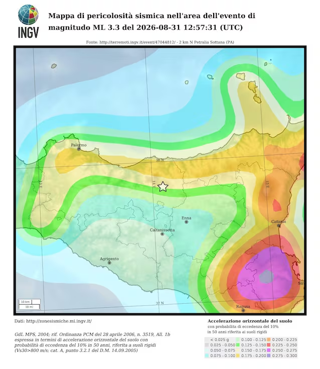
According to the seismic hazard map developed by INGV, the epicenter area falls within an area of medium/low seismic hazard: the colors associated with lower accelerations indicate less dangerous areaswhere the frequency of stronger earthquakes is smaller compared to the more dangerous ones, but this it doesn’t mean that cannot occur.