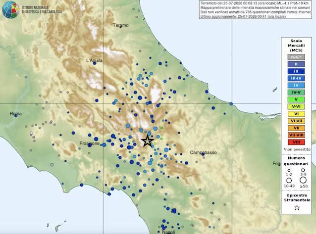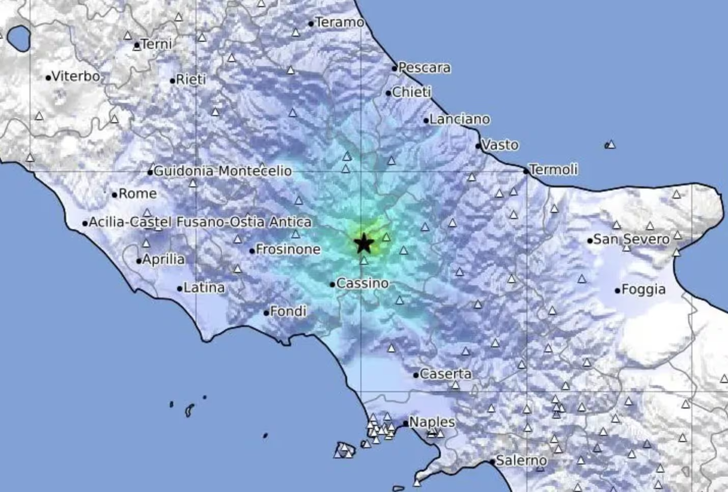
An earthquake shock magnitude 4.1 was recorded today, Saturday July 25that 00:08, in the province of Isernia, in Molise: as reported by INGV, the epicenter was located 2 km west of Pizzoneabout 20 km from Isernia, to a depth of approximately 10 km. . The hypocenter, however, was detected at a depth of 10 km.
The area affected by this event is al border between Molise, Abruzzo and Lazio: the earthquake was distinctly felt also by the population of these bordering regions, with the inhabitants I ran into the street after the earthquake.
At the moment, fortunately, no particular damage or casualties were reported.
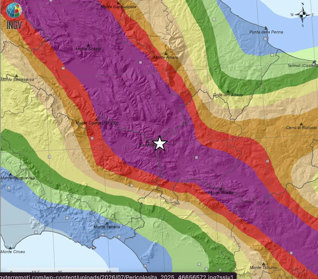
The area affected by this earthquake is characterized by very high seismic hazardas demonstrated by the INGV Seismic Hazard Map of the national territory (MPS04) shown below.
From the macroseismic resentment map obtained from INGV, last night’s earthquake was felt in a very large area from the Tyrrhenian Sea to the Adriatic, in particular in the provinces of Isernia, Frosinone, L’Aquila and Campobasso with intensity values up to V-VI MCS degree.