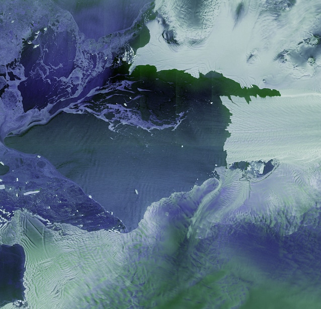
We are at Ministerial Council 2025 of the European Space Agency, where the very first images of Sentinel-1Dthe new member of the European constellation Copernicus for terrestrial monitoring, launched on November 4th from French Guiana. The images – obtained in record time – show the Antarctic Peninsulathe Tierra del Fuego and the city of Bremenin Germany, which hosts the Ministerial Council.
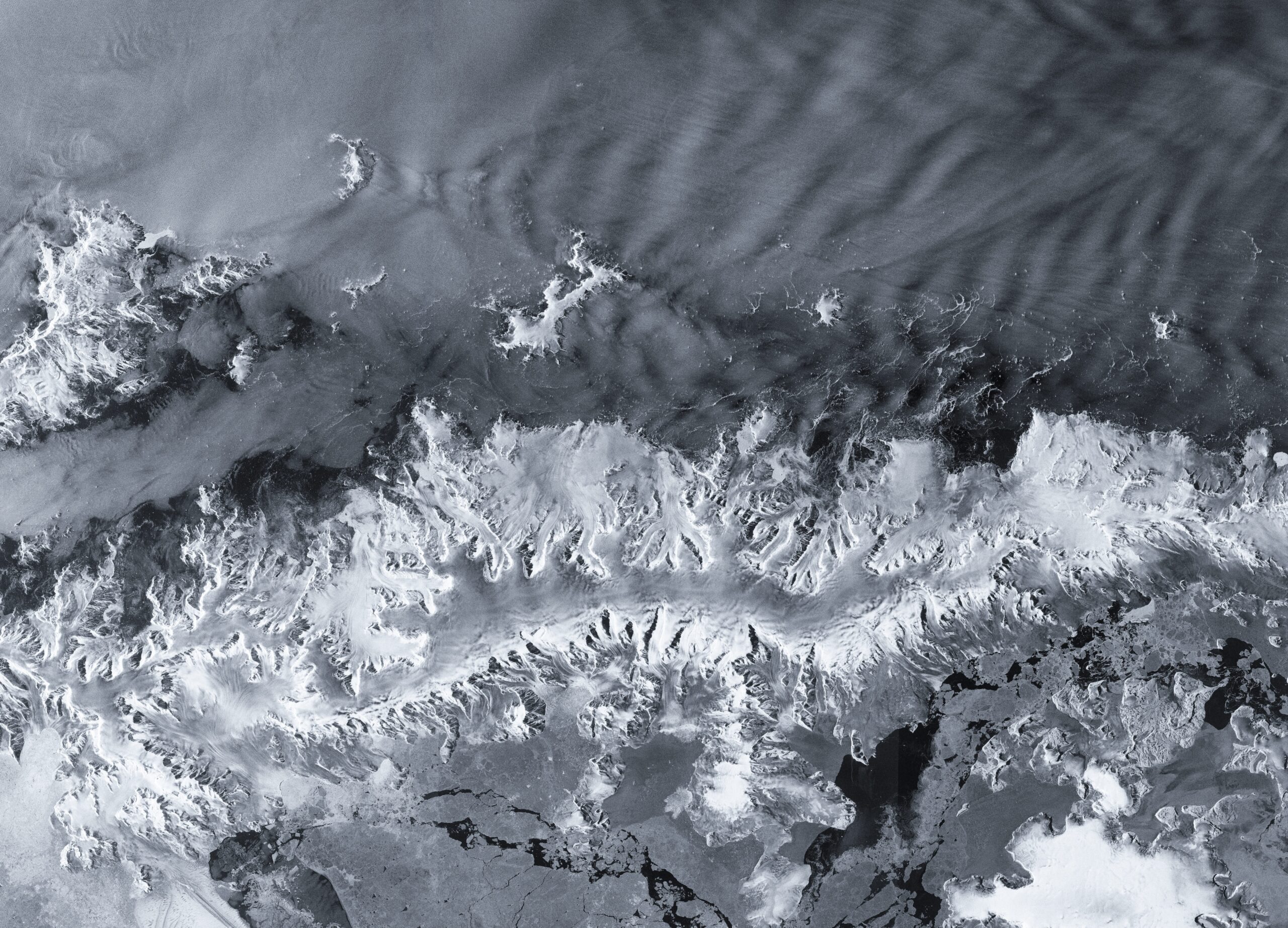
These images show the fragility of glaciers of this area of the world, which represent one of the “litmus tests” of the climate crisis. The glacier Thwaitesfor example, which you can see below in the brand new Sentinel-1D image, is particularly unstable and at high risk of retreat. In general, the entire Antarctic Peninsula is particularly “suffering” from the point of view of ice stability, due to its small size but also due to its position which exposes it to greater warming compared to the rest of Antarctica.
Earth monitoring satellites are important precisely because they allow us to collect the amount of data needed by climate scientists and other scientists study the dynamics and evolution of climate changein order to have knowledge of the facts to make decisions in order to intervene and effectively combat the phenomenon.
Sentinel-1D, in particular, is particularly suitable for continuous monitoring of glaciers and the polar regions because it is equipped with radar systemswhich unlike traditional optical systems are able to “peek” under the clouds and allow us to measure the height of ice shelves in order to monitor their volume and its changes. Satellites like this therefore give us precious data on the thinning of Antarctic glaciers and their retreat, information that allows us to calibrate our measurements on therise in sea levels.
This need is increasingly pressing in light of what the data from monitoring satellites reveal. The latest report fromWorld Meteorological Organizationfor example, states that between October 2023 and September 2024 Antarctica experienced the highest rate of ice loss since 1950, estimating that this corresponds to a rise in global ocean levels by 1.2 millimeters.
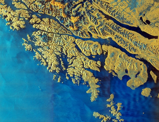
During the same flyby, Sentinel-1D also observed the Tierra del Fuegothe archipelago off the southern tip of South America. In doing so, it used a particular technique that combines different types of radar waves to provide images with greater contrast and a greater amount of detail. The false colors of the image are a “translation” of the different radar waves used by the satellite.