Scientists from the United States Geological Survey (USGS) are rigorously monitoring the subduction zone located under the Pacific Ocean, given the latent threat of a massive earthquake off the North American northwest. Statistical projections suggest a 10% to 15% chance for a magnitude 9 earthquake in the next five decades; However, in the southern sector, the risk of a phenomenon of scale 8 or greater rises to 30%. This geological fracture represents a critical danger due to its capacity to cause tsunamis that would impact dense urban areas in the area.
Despite these alarming data, the Columbia Climate School emphasizes an inescapable technical reality: “There is no such thing as predicting an earthquake.” The work of experts is limited to estimating scenarios and calculate frequencies that serve to strengthen building regulations, emergency protocols and early warning mechanisms. Specialists prioritize preventive preparation, since it is impossible to determine a precise day for the event, although current models force relief authorities to maintain permanent surveillance over this coastal strip.
Why does the connection between Cascadia and San Andreas represent an imminent seismic threat?
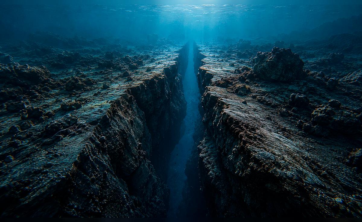
The subduction zone comprises a 1,000 kilometer tectonic fracture located between Vancouver Island and Cape Mendocino. In this sector, the Juan de Fuca plate presses against the North American shelf with a constant displacement of four centimeters per year. This process generates an accumulated tension due to the friction of the earth’s layers, whose sudden release would give rise to a megaearthquake of massive proportions on the continental margin.
Various scientific investigations suggest that both systems interact, since there are records of telluric events that occurred with little chronological difference. In this regard, paleoseismologist Chris Goldfinger raises a disturbing possibility about the dynamics between these structures: “What if Cascadia was activated and triggered a weak turbidity current near San Andrésand then that one was activated some time later?”
This geological activity would directly affect nations such as the United States and Canada, specifically the territories of British Columbia, Washington, Oregon and California. In addition to the immediate structural damage, the risk of a transoceanic tsunami remains latent for the entire Pacific basin. Although the epicenter is located on the western coast, history documents tidal waves that reached Asian coasts after critical ruptures in this ring of fire.
What does Cascadia’s history reveal about future seismic risks?
The geological record of the region identifies January 26, 1700 as the most critical milestone, the date on which an earthquake with an estimated magnitude between 8.7 and 9.2 generated a tsunami with impact as far as Japan. According to the Pacific Northwest Seismic Network, there is evidence of at least 19 scale 8 or higher events over the past 10,000 years. Although the average interval between these disasters is around five centuries, nature lacks the precision of an exact clock to predict the next large-scale earthquake.
Damage projections are technical planning tools and are in no way infallible predictions. Emergency agencies in Oregon maintain that an event of magnitude 9 or greater would cause prolonged shaking and coastal subsidence; However, the actual effects are subject to variables such as the rupture zone, the time of the incident, and the resilience of the local infrastructure. “The projected damages should be read as planning scenarios, not as certainties,” the specialists emphasize to avoid unnecessary panic while promoting active prevention.
The current focus is on optimizing the response to a potential catastrophe by studying new underwater maps in Science Advances. These findings suggest that the megafault has four distinct segments, which alters previous theories about its structural continuity. In this regard, Harold Tobin, a researcher at the University of Washington, emphasized that “we cannot say that this definitively means” whether the collapse will occur in sections or simultaneously, but the evidence forces us to refine all current threat models.
(function(w,q){w(q)=w(q)||();w(q).push((“_mgc.load”))})(window,”_mgq”);