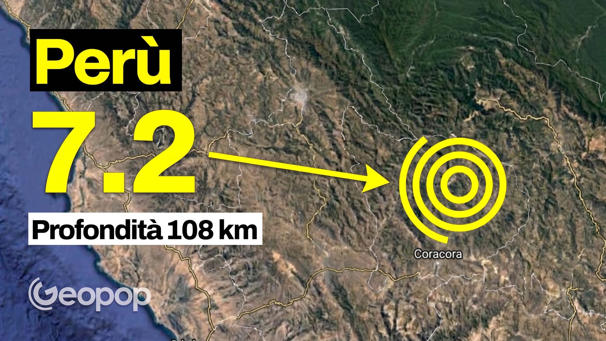
An earthquake has hit the Ayacucho region, in the south of Peru. The earthquake occurred on Thursday 20 August at 1pm local time (8pm Italian time), with the epicenter located at 35 kilometers north of Coracora, province of Parinacochas, and epicenter located at a depth of 108 kilometers.
The magnitude initially recorded and reported by the Geophysical Institute of Peru (IGP) was by 7.2, while according to data from the American institute USGS, the magnitude would have been 6.7with the epicenter located at 31 kilometers northeast of Aniso, in the Andes, and hypocenter at 99 km depth. Data from the Seismic Room of the INGV in Rome report an intensity of 6.6. The definitive data will report the correct magnitude in the next few days. Below is the tweet with which the IGP announced the first data.
As reported by the BBC, Defense Minister Rafael Belaunde informed that they were recorded damage to 22 homes and 6 schools to Puquio, in the province of Lucanas, and who received assistance three injured with minor injuries. The National Emergency Operations Center reported that “it was felt as moderate or strong in several departments”: in the districts of Coracora, Chumpi, Coronel Castañeda, Pacapausa, Pullo, Puyusca, San Francisco de Ravavayco and Upahuacho of the province of Parinacochas (Ayacucho), as well as in the district of Nazca (Ica), 250 km from the epicenter. The Hydrographic and Navigation Directorate of the Peruvian Navy has suffered excluding the danger of tsunami along the Peruvian coast.
The country had already been hit by an earthquake last July: a 5.1 magnitude shock had hit the Junín region and caused at least six victimsover twenty injured and hundreds displaced. According to the IGP, in August 2014 an earthquake of magnitude 6.6 and 108 kilometers deep occurred in practically the same place. Peru is located in the Pacific Ring of Fire, a band in which 75% of the planet’s volcanoes are located.
