A study by INGV and the Universities of Milan-Bicocca and Palermo has reconstructed the evolution of Etna’s summit from 1865 to 2024 in a photogrammetric “time machine”, integrating historical maps, aerial photographs and drone surveys. The data was also used to make 3D printed models to enable tactile exploration for visually impaired and blind people.
Etna is a volcanic system in continuous morphological transformation, whose summit can change profoundly in the space of a few decades due to eruptive activity and structural processes. To measure and reconstruct evolution of the summit area over time, a study conducted by researchers from the National Institute of Geophysics and Volcanology (INGV), in collaboration with the University of Milan-Bicocca (GeoVires Lab) and the University of Palermo, has developed a analysis method based on photogrammetry. The research, published in the journal International Journal of Applied Earth Observation and Geoinformationintegrated historical and recent data to create a three-dimensional reconstruction of the transformations of the summit area of Etna between 1865 and the 2024extending topographic analysis well beyond the onset of modern instrumental monitoring.
From nineteenth-century maps to drones: the INGV study
To trace the 1865the researchers started from one historical topographic map created by the Military Geographic Institute (IGM). However, comparing a nineteenth-century map with a very high resolution photogrammetric survey performed using modern drones requires careful calibration work. The measurement techniques of the time were profoundly different from those of today and the risk of mistaking a cartographic inaccuracy for a real variation in the surface of the volcano is real. To overcome this obstacle, the team has come up with a rigorous co-registration protocol, validation And propagation statistics of errors. Thanks to this procedure, the researchers were able to integrate 14 datasets including historical maps, aerial photographs, satellite images and surveys carried out with drones, reporting all the data to a single reference system.
As he explains Cristina ProiettiINGV technologist and first author of the research:
We have reported in the same reference system data produced over almost 160 years and with profoundly different techniques: from historical topographic maps to aerial photographs, up to satellite data and high-resolution drone surveys. This allowed us to build a real topographic time machine with which to quantitatively observe how the summit of Etna has changed.
How the summit of Etna has changed: 3D reconstruction
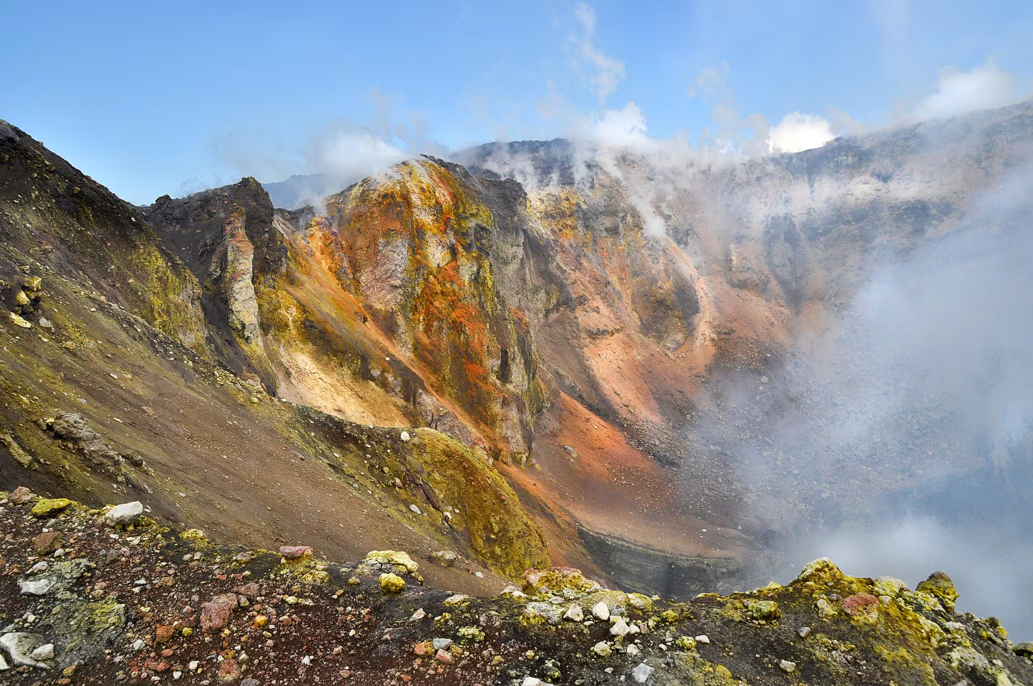
THE 3D models obtained document the transition from a predominantly monocentric summit configuration to a highly dynamic polycentric system. In the 1865 the summit of Etna was dominated by a single large structure, the Central Craterwhile today the summit area presents four active craters distinct: the Voragine, the Bocca Nuova, the North-East Crater and the South-East Crater. Each structure has different evolutionary characteristics. The Voragine shows recent growth due to the accumulation of volcanic materials, while the Bocca Nuova and the North-East Crater are subject to alternating cycles of filling and subsequent subsidence of the land, a phenomenon known as subsidence.
The South-East Craterformed in 1971is among the most dynamic structures of recent decades. Since its formation it has recorded marked growth, accompanied by a progressive expansion towards the east. As he highlights Emanuela De Beniresearcher at INGV and co-author of the study:
The long-term perspective shows that the four craters, although belonging to the same summit system, have followed different morphological evolutions. Their evolution is consistent with the complex structural structure of the volcano and, in particular, with the influence of the North-East and South rift zones. The progressive eastward expansion of the South-East Crater also fits into the context of the seaward deformation of Etna’s eastern flank, already documented by geological and geodetic studies.
Alongside the scientific value for the study of the morphological evolution of the volcano, the research presents an interesting application in the field of accessible scientific dissemination. The topographic data processed to reconstruct the transformations of Etna were in fact used to create physical models using 3D printing. This transposition allows people blind And visually impaired to explore with touch the conformation of the craters and their variations over time, making knowledge of the transformations of the territory more accessible.