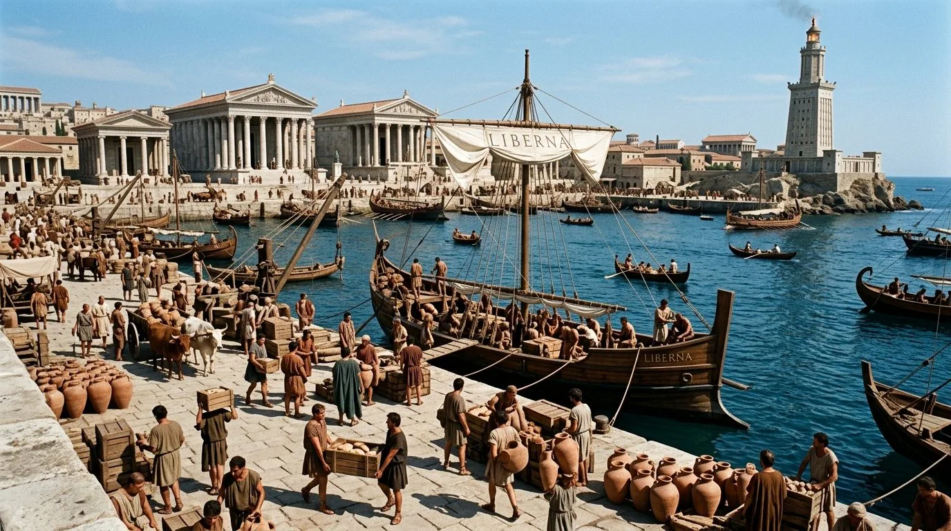
To understand how large and functional an ancient port was, it is not enough to measure its piers or the surface of the basin. This is the conclusion at the center of a new study published in Antiquitieswithin the project SHIPs (Ships Harboring In Ports), which proposes to consider the port as a much larger systemalso including bays, shave And anchoring areas external to built structures. The study was led by Emmanuel Nantet, Matthieu Giaime and Michael Lazar, from the Israeli University of Haifa.
Port archeology has often focused on the most easily visible works, such as docks and piers. According to the authors, however, this perspective risks underestimate a fundamental part of the space used by ships. The boats could in fact also be moored outside the protected basins, along nearby coasts and bays, or be pull to the ground. The project therefore proposes a standardized method based on different parameters: theextension of usable bodies of water, the density of moorings, the draft of ships and the available depth. To these data is added the information obtained from geoarchaeology (discipline that deals with studying the geological stratification in relation to archaeological contexts) and from geophysical prospectingnecessary to reconstruct what the port landscape is like changed over time.
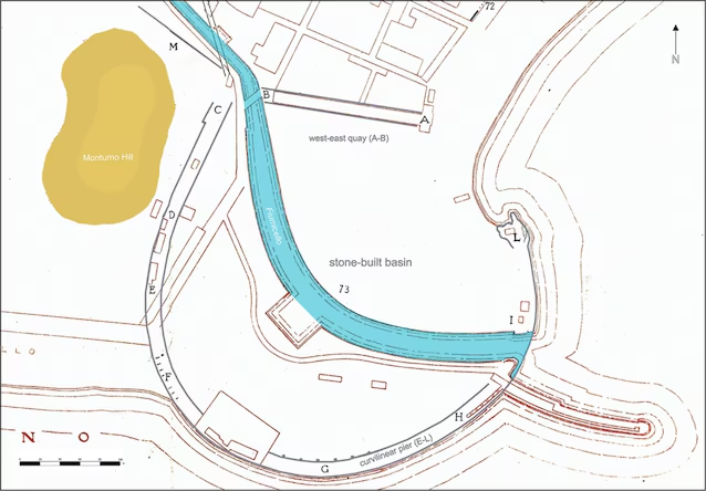
The cases analyzed show how much this perspective can change the perceived evaluation of ancient ports. TO Caesareain Israel, the port system was extensive well beyond the basin built in the Herodian age (1st century BC – 1st century AD). TO Terracinaon the Lazio coast, the sedimentation progressively transformed the anchoring areas, making the static reconstructions of the port unreliable.
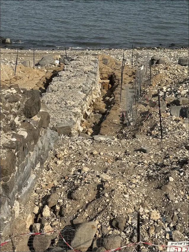
TO Port Vendresin France, the distribution of wrecks indicates significant anchoring activity even outside the port itself. A further example comes from Sea of Galileewhere variations in the water level allow us to identify structures and redefine the space that can actually be used by boats.
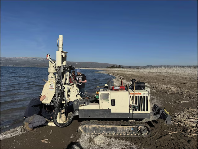
To reconstruct these environments, archaeologists combine different techniques, such as core drilling, LiDAR surveys, radar, electrical tomography, magnetometry And sonar surveys. The goal is to be able to compare different ports on the basis of their real operational capacityconsidering not only what is left in stone, but the entire maritime landscape in which the ships moved and found shelter. This new type of approach could completely redefine the discipline ofnaval archaeology.
