There Tibbitt to Contwoyto Winter Road is a seasonal ice rink that winds through the Northwest Territories and Nunavut, in Canada. Created to connect the remote mines of the area and facilitate the transport of extracted materials, this “highway” extends for a length that varies from 400 to 600 km. This project stands as one of the highest technical level applications of civil engineering in extreme environments. We are talking about a one-of-a-kind infrastructure, where the ice allows giants on 40-ton wheels to travel safely suspended on the waters of frozen lakes. The road exists only 6-8 weeks a yearduring which it works tirelessly to ensure the transit of hundreds of thousands of tons of goods vital to the local economy, only to vanish with the spring thaw without leaving a trace in the environment. Between complex challenges linked to hydrodynamic physics, rigid safety protocols against spills and the increasingly concrete and costly threat of global warming, let’s see together the secrets of this very interesting project.
85% of the route above the frozen lakes: the characteristics
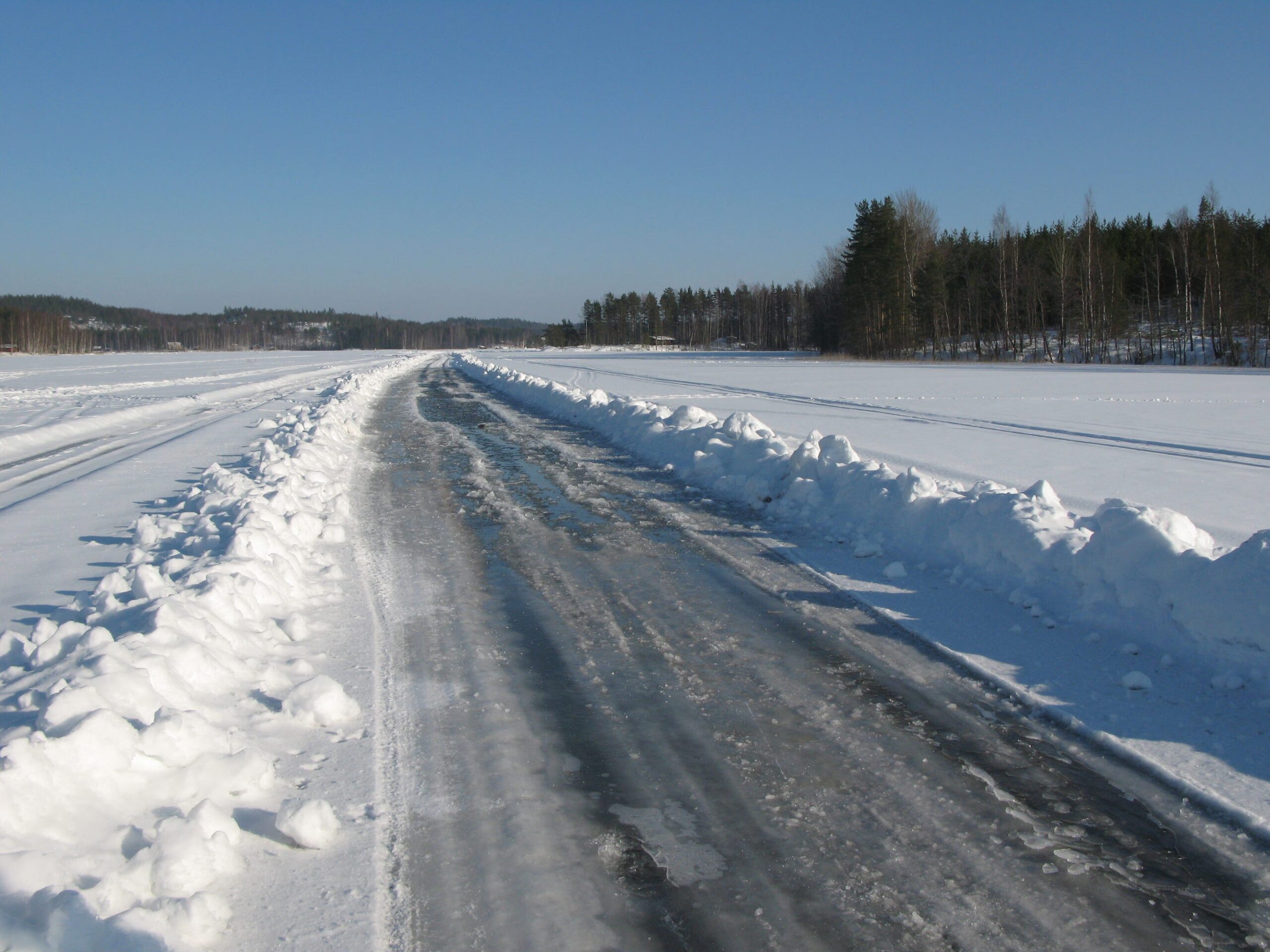
First, let’s start with the analysis of tracked. The road, which serves to connect the various mines present in the area, in order to facilitate the movement of the materials that are extracted there, extends for a total length of approximately 400-600 km (depending on the annual configuration and the active mines). From the point of view of the geometries, the most important characteristic, and certainly the main one, is that approximately85% to 87% of the route runs over frozen lakesinterrupted by over 60 portages (artificial land sections that connect one lake to another), for a land length with a total length of 65 km.
Source: By YK Times – Own work, CC BY–SA 3.0, https://commons.wikimedia.org/w/index.php?curid=6448957
Construction begins every year around December. First of all, an interesting aspect is that natural ice must be literally “grown”. Engineers and geologists, in fact, use light vehicles (Amphibious Vehicles) equipped with ground penetrating radar (GPR – Ground Penetrating Radar) to continuously map the thickness. In order to withstand the heavy loads, the minimum ice thickness must reach i 70-100cmbut for super-loads (up to 40 tons) we aim for a standard safety thickness of at least 107-120cm. If the thickness of the ice is not sufficient, it is artificially flooded, doubling the speed of surface freezing.
Among the most critical engineering challenges is, certainly, the management of hydrodynamic waves. When a heavy truck moves across ice, the deflection of the sheet creates a wave of water underneath. If the truck travels at the same speed as the wave (critical speed), the ice undergoes a resonance that can cause catastrophic structural failure. So how can we overcome this criticality?

Source:By Marke Clinger https://www.flickr.com/photos/clinger/ – https://www.flickr.com/photos/clinger/3394982169/, CC BY 2.0, https://commons.wikimedia.org/w/index.php?curid=12189799
One of the main solutions concerns speed limits, which are set at 25 km/h on lakes for loaded trucks (to avoid the wave effect) e 10 km/h near the land-lake transit points, where the ice undergoes maximum shear stress.
Only open 6-8 weeks a year: the economic impact
From an economic and social point of view, this particular path has led to a whole series of effects.
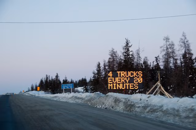
First of all, the road remains open for solo travellers 6-8 weeks per year, usually from late January/early February to late March. During this very short period of time, the road operates 24 hours a day. On average, they transit between 6,000 and 8,000 single trip trucks. The total volume of goods transported exceeds 200,000 – 300,000 tons by season.
Source: By LCGS Russ – Own work, CC BY 3.0, https://commons.wikimedia.org/w/index.php?curid=6489224
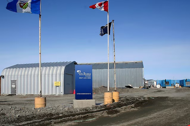
As for construction and annual maintenance costs, these fluctuate between 15 to 20 million Canadian dollarsbacked by a consortium of mining companies (including Rio Tinto and De Beers).
Environmental impact and sustainability
The huge advantage, in terms of sustainability, of an ice road is that, once it melts in the spring, the infrastructure disappears, leaving no permanent consequences to the landscape or fragmentation of terrestrial habitats. The terrestrial portages are protected by a minimum layer of compacted snow 10-20 cm to prevent the tires from damaging the tundra below.
There are, however, also a whole series of risks to take into consideration. First of all, the transit of millions of liters of hydrocarbons entails a high risk of water spills. Each truck is obliged to have an environmental containment kit (spill kit) on board. In the event of an accident on the lake, the ice paradoxically acts as a barrier: the fuel does not penetrate immediately and the contaminated ice is cut into blocks, removed mechanically and subjected to a storage process on land.
Among the main risks that this ice road can suffer, there is certainly that relating to global warming. Consider that, in 2006, a winter with unusually higher than average temperatures led to the early closure of the road, leaving over 1,000 loads undelivered and forcing the companies to spend over 100 million dollars on emergency cargo flights.