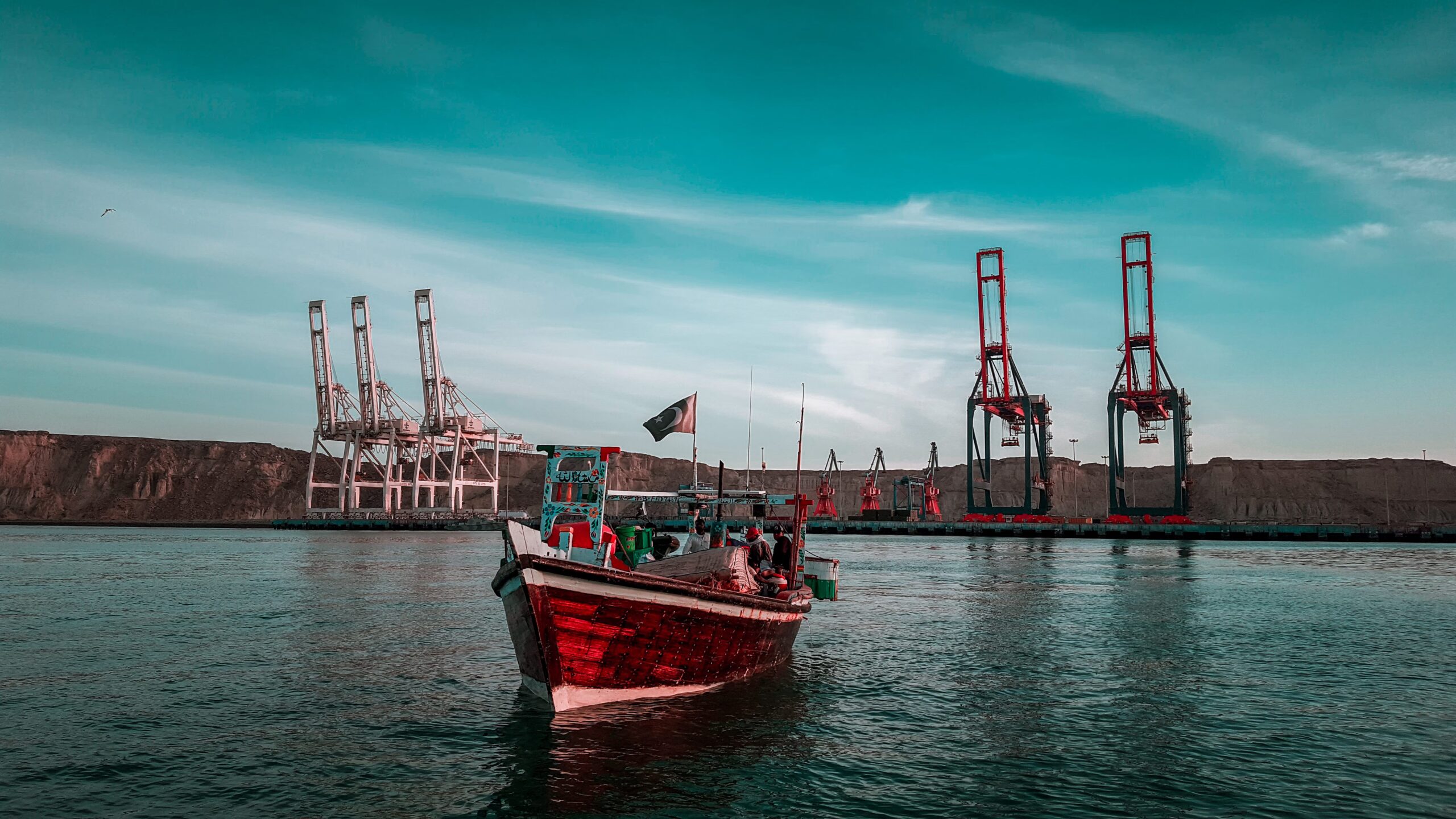
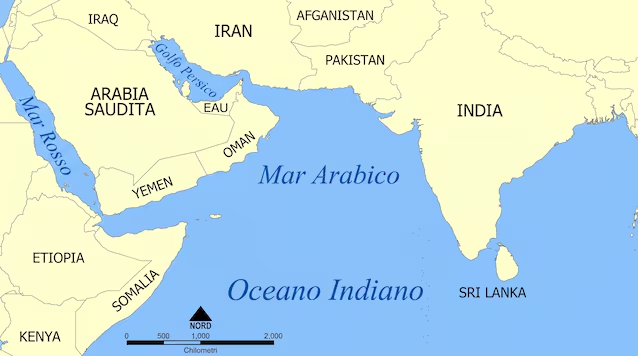
The port of Gwadar, located on the coast of Arabian Seain the province of Baluchistan (Pakistan) is among the port infrastructures larger of the region. The place, a small fishing village, has in fact been transformed into a deep water port (deep-sea port) capable of accommodating ships of large tonnageserving as a strategic maritime terminal for the China-Pakistan Economic Corridor (the China-Pakistan Economic Corridor, CPEC).
The port, under the administrative control of the Maritime Secretariat of Pakistan and under the operational control of the China Overseas Port Holding Company
The Gwadar port project in Pakistan
A project of this complexity brings with it a whole series of important engineering challenges that the designers found themselves having to deal with. The desert environment and the inadequate seabed required interventions seabed dredgingat depths reaching up to 15 metersin order to allow the docking of tankers and large container ships.
The port is protected by a breakwater (breakwater) of 4.7 km in length, essential for dissipating the energy of wave motion of the Indian Ocean (of which the Arabian Sea is part) and ensure calm waters within the basin.
The infrastructure includes a number of docks with one total length which exceeds the 600 metersequipped with gantry crane high capacity and automated handling systems. The logistical challenge was supported by the construction of the Gwadar East-Bay Expressway, a freeway of approx 19km which directly connects the port to the national motorway network, facilitating the transit of goods flows towards western China.
The socio-environmental impact of the China-Pakistan economic corridor
Even from an environmental point of view, the implementation of this project entailed a series of consequences, some of them serious. The colossal ones dredging worksfor example, have involved changing the dynamics of sediments along the coast, impacting on natural deposits which support local mangroves, fundamental for marine biodiversity.
Furthermore, the increase in maritime traffic and supporting industrial activities raises the risk of oil spills and complex ballast water management.
Furthermore, due to the location, the port is exposed to risks of sea level rise and meteorological phenomena extremes. In order to mitigate its effects, careful continuous geotechnical studies with particular attention to the stability of coastal structures in an environment that oscillates between extreme aridity and monsoon intensity.
Because the port is so strategic
The project involved a profound urban restructuring, which includes the planning of a smart cities that it should host thousands of citizensallowing us to move from an economy based substantially on artisanal fishing to a industrial model based on logistics, oil refining and special economic zones.
Furthermore, thanks to a handling capacity designed to exceed the million TEUs (Twenty-foot Equivalent Unit) nods, the port aims for a drastic reduction in time of goods transport between the Persian Gulf and China, reducing the strategic vulnerability from the Strait of Malacca, which separates the Indonesian island of Sumatra from the western coast of the Malay Peninsula.
Despite the profound modernization that the project brings with it, the integration of the local population remains one challenge among the most complex to resolve. The possibility of finding a balancing between industrial development and access to primary resources, such as drinking water (scarce in the area) and electricity, is the subject of constant monitoring to ensure that infrastructural progress translates into well-being for communities in Balochistan.
