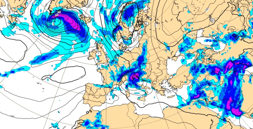
Italy finds itself again in the grip of the cold despite the start of spring: the cause is a pocket of cold Arctic air coming from Northern Europe, which has recently reached the Mediterranean, giving rise to a cyclone that he has took shape off the coast of Venice and which is now sliding along the Central-Southern regions.
This “final blow” of winter will affect our country until the weekend: from Sunday 29 March thearctic air – which is leading to a sharp drop in temperatures up to 8-10 °C less compared to the average – will definitively move eastward.
For today, March 26, the Natural Risk Monitoring Center of the Lombardy Region has issued aOrange alert (moderate) due to risk of strong windswith possible gusts of wind up to 90 km/h. For this reason, they were in the city of Milan public parks and cemeteries closed due to the danger of trees collapsing, as well as schools, museums and commercial activities located within green spaces. In the Pordenone area, on Mount Rest, one was registered gust records of 216 km/h, while at Genoa Airport a flight arriving from Naples was diverted to Pisa because of strong wind.
In the meantime, the Civil Protection has issued a yellow alert due to thunderstorms in 9 regions: Abruzzo, Basilicata, Calabria, Emilia-Romagna, Lazio, Marche, Molise, Puglia, Umbria. As also reported in the Fire Brigade post below, in regions such as Emilia-Romagna hundreds of interventions were carried out for unsafe trees and billboards torn down following the strong wind.
What is the cyclone that is bringing the cold to Italy
In the last hours, one inlet of cold arctic air (i.e. a large strip of low pressure, filled with freezing air at high altitude) coming from Northern Europe has reached the Mediterranean, bringing with it effects that have been defined as a “backlash” of winter.
The advanced part of this cold disturbance has reached the Northern Italy on the evening of Wednesday 25 March, where the encounter with the warmer and more humid Mediterranean air led to an instability that resulted in disturbances with scattered showers and hailstorms: a cyclone it took shape off the coast of Venice in the night between yesterday and today – 25 and 26 March – which is currently sliding along the Apennines causing a worsening of weather conditions also in the central-southern regions.
Among other things, the birth of this Adriatic cyclone caused a drastic drop in atmospheric pressuretriggering strong winds in several areas of Italy including Lombardy, where an orange warning for strong winds has been issued. More specifically, gusts of wind until 90 km/hwhile on the Upper Adriatic the gusts of Bora they might arrive over 100 km/h. Gusts are also expected on Sardinia and the Tyrrhenian Sea Mistral over 100 km/h.
This mix of cold air coming from the Arctic and strong winds will bring with it a drop in temperatures even 8-10°C less than current values.
How long will this cold last: the forecast
From a forecasting point of view, this dynamic just described will also favor low altitude snowwith possible snowfall up to the hills (400-600 m) in regions such as Marche, Abruzzo, Molise, Puglia, Basilicata And Campaniaand probable showers of graupel (or round snow) up to the plainsespecially in Abruzzo.
In general, however, the pinnacle of instability it will be recorded between today, Thursday 26 March, and tomorrow, Friday 27 March: in these hours, in fact, the cyclone will advance rapidly towards the South, while in the North and on part of the Tyrrhenian side there will instead be a rapid improvement, with temperatures that will still be lower than the seasonal average. To get an idea, on Thursday it zero temperature it is expected down to below 1000 meters in Central Italy, with minimum temperatures at 1,500 meters in the Alps expected around -8° C.
Saturday will be characterized by residual instability, which will especially affect the Centre-South, where the most intense phenomena and snowfall will be concentrated at unusually low altitudes for the period. Already by Sunday, however, a general atmospheric improvement over much of the Peninsula, with the arctic air will move definitively towards the east.